Circumnavigation of Kyläniemi
The Lake Saimaa fleet of the Russian Empire had a problem after end of the Russo-Swedish War (1741-1743). Most of the waters between Lappeenranta and Savonlinna belonged to Russian Empire, but the strategic Puumala strait was controlled by Sweden. After some decades there was a new war and both of the powers tried to expand their territories, but the war ended without any changes to the border lines.
Suvorovin sotakanavat
The Russian Empire decided to start building South-Eastern Finland fortification system. Its function was to protect St. Petersburg, the capital of the empire, from the attacks of Swedes. The system consisted of three fortress chains. The middle chain also included Lappeenranta fortress, which is situated above the modern main harbor area of the city. As part of the fortification system it was decided to construct a series of canals to bypass Puumala strait. That opened a route for Russian navy to sail from Lappeenranta to Savonlinna without crossing the Swedish waters. The new water route included Kutvele, Käyhkää and Telataipale canals, that are called as Suvorov military canals. Kutvele canal, which is hundred meters long, penetrates the base of the Kyläniemi peninsula.
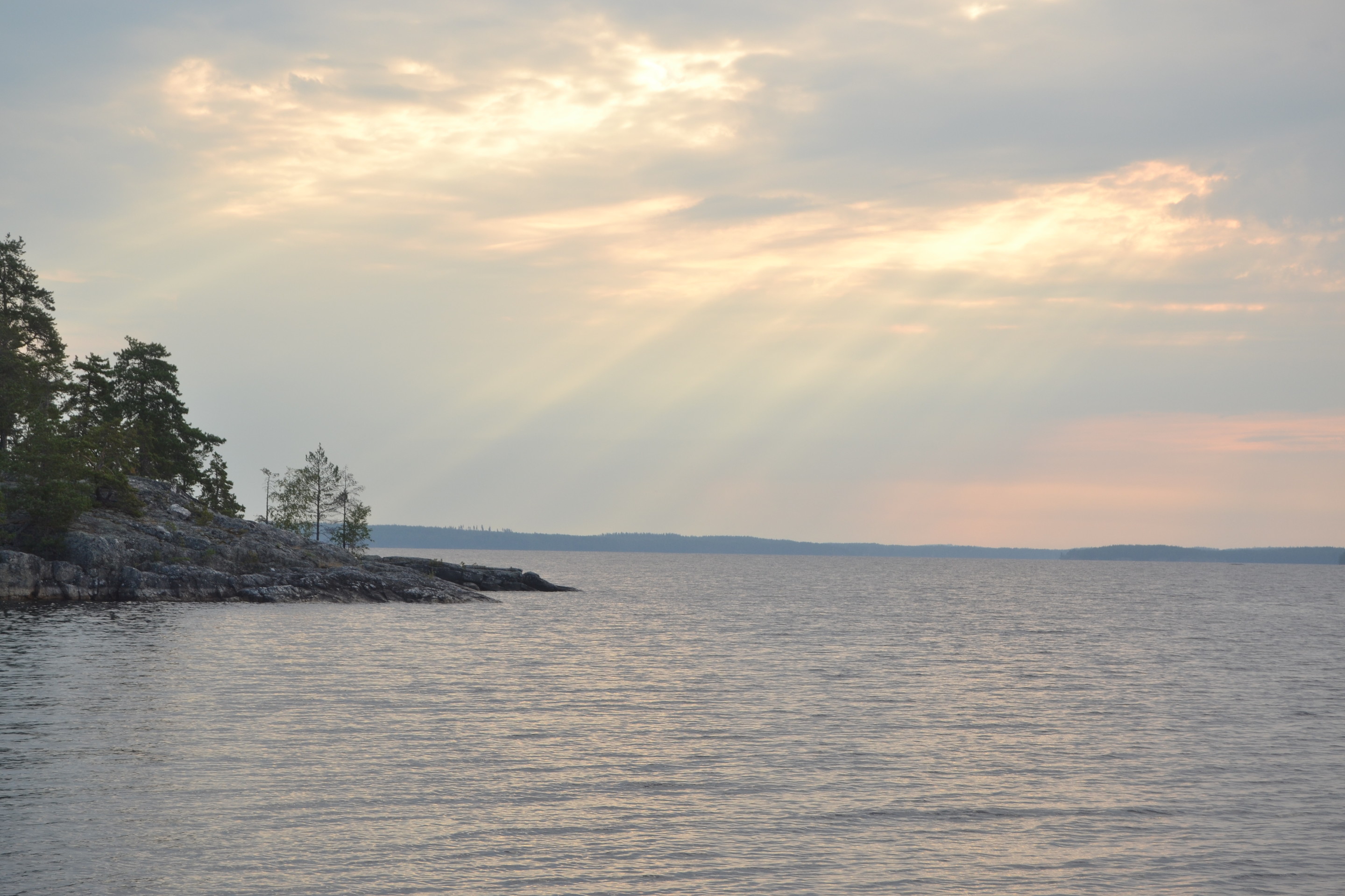
Kyläniemi is one of the most remarkable geographic formation in the southern Lake Saimaa. It’s a visible part of the second Salpausselkä ridge system, which runs from Joensuu area to the Archipelago Sea. The Salpausselkä systems consist of sand, clay, gravel and moraine.
The First Day
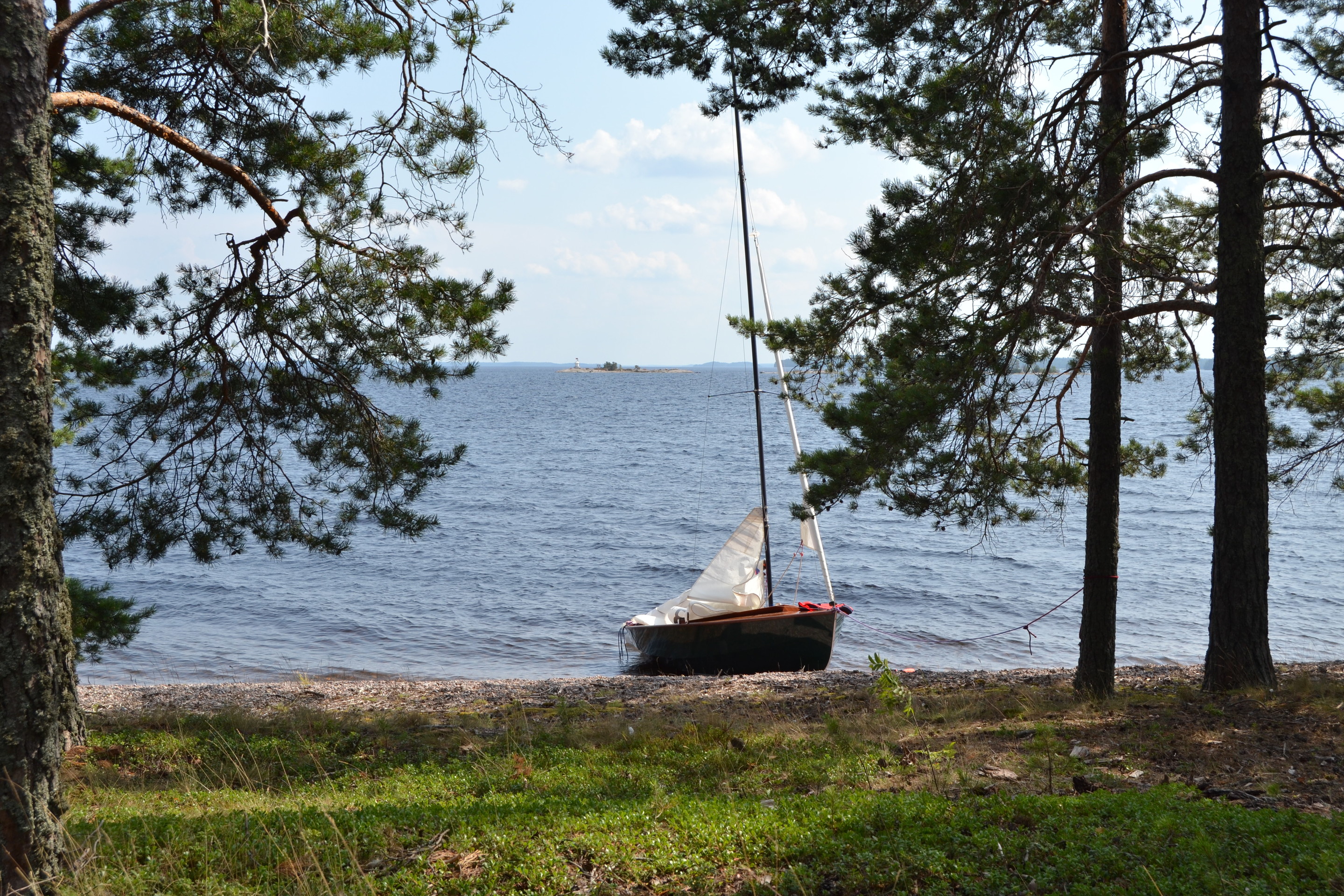
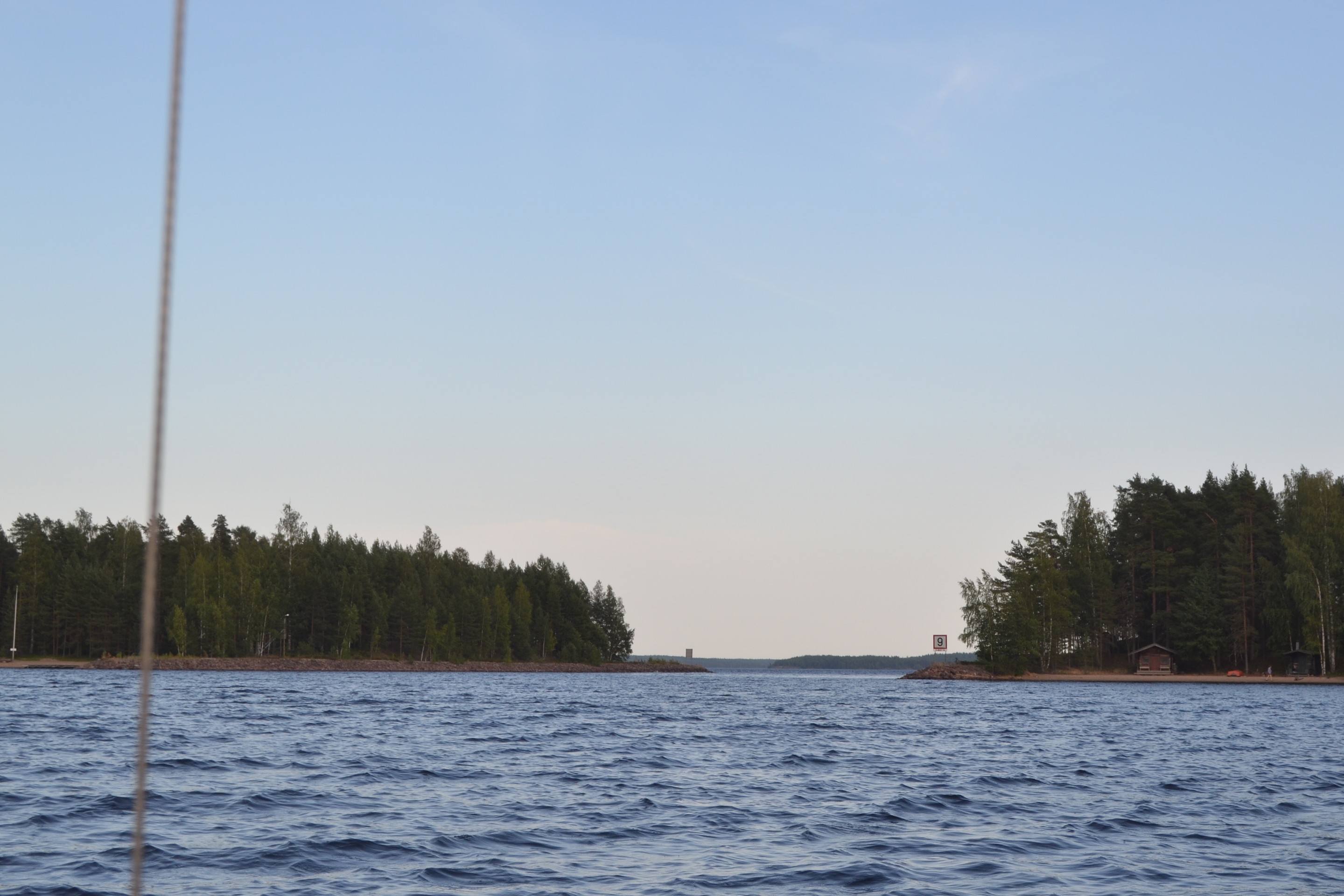
Circumventing Kyläniemi in Sarastus had been in my thoughts several times, and it didn’t seem like a big effort. One day we launched from Sarviniemi and headed for Ruuhonsaaret islands, where we paddled through the straits between the them. It was also a great place to eat, swim and plan for the rest of the trip.
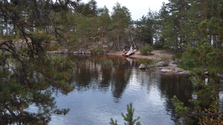
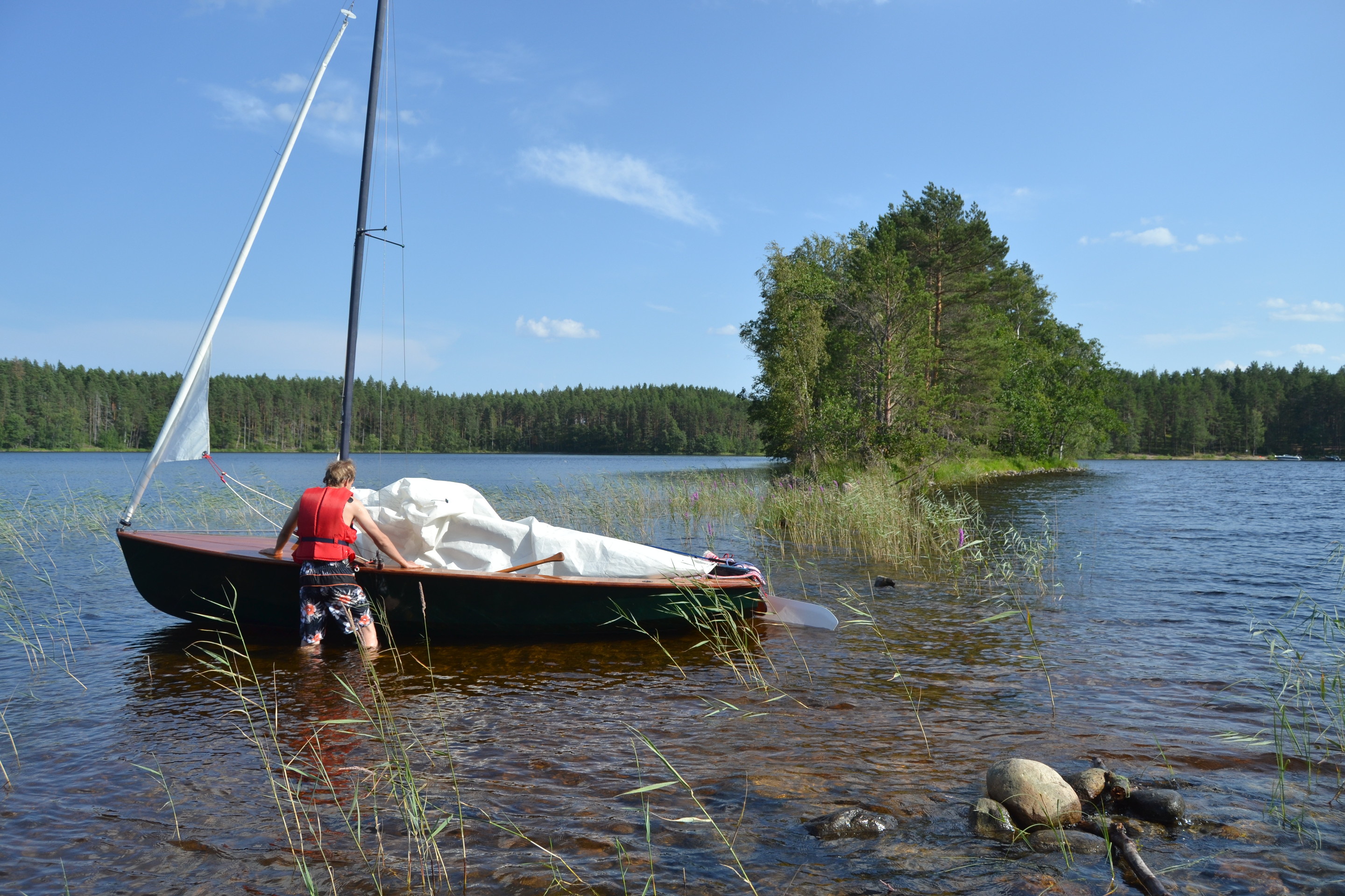
The ridge connecting Ruuhonpurnu and Taka-Ruuho islands is partly under water and was trickier to cross than we expected. We swam to the northernmost swallows of the ridge and moved some rocks, to make a small canal, that was deep enough for Wayfarer to cross.
The Second Day
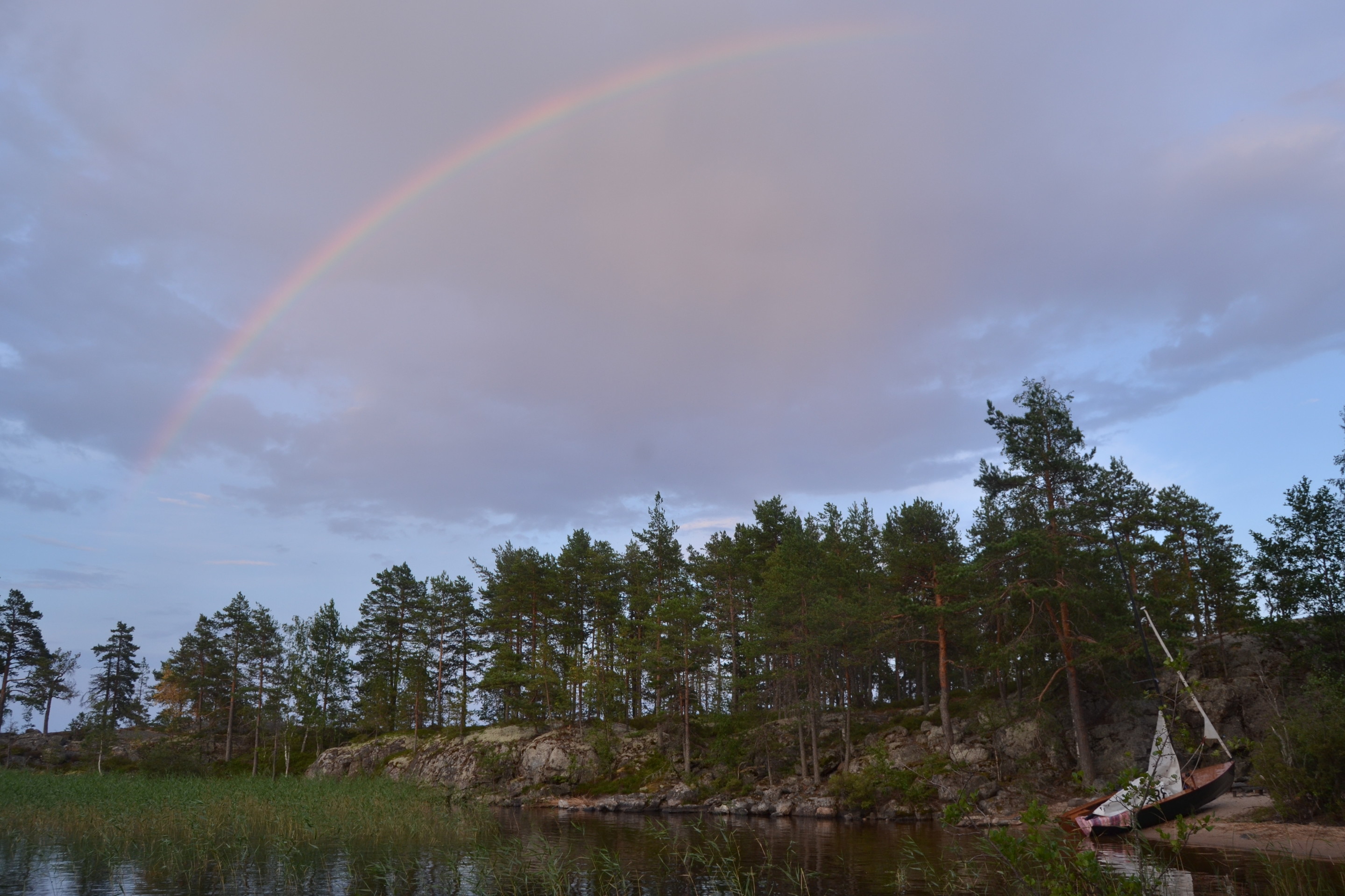
The morning was sunny and the winds were light, but the forecast predicted thunder for the afternoon. Way sailed in nice winds to Rastiniemi cape, where we realized, that a wide thunder front was approaching from the northwest. It was better raise the sails quickly and head for the bay, where our journey begun. We reached there on time, but during the drive to home, the storm reached us.