Äyrätsalo
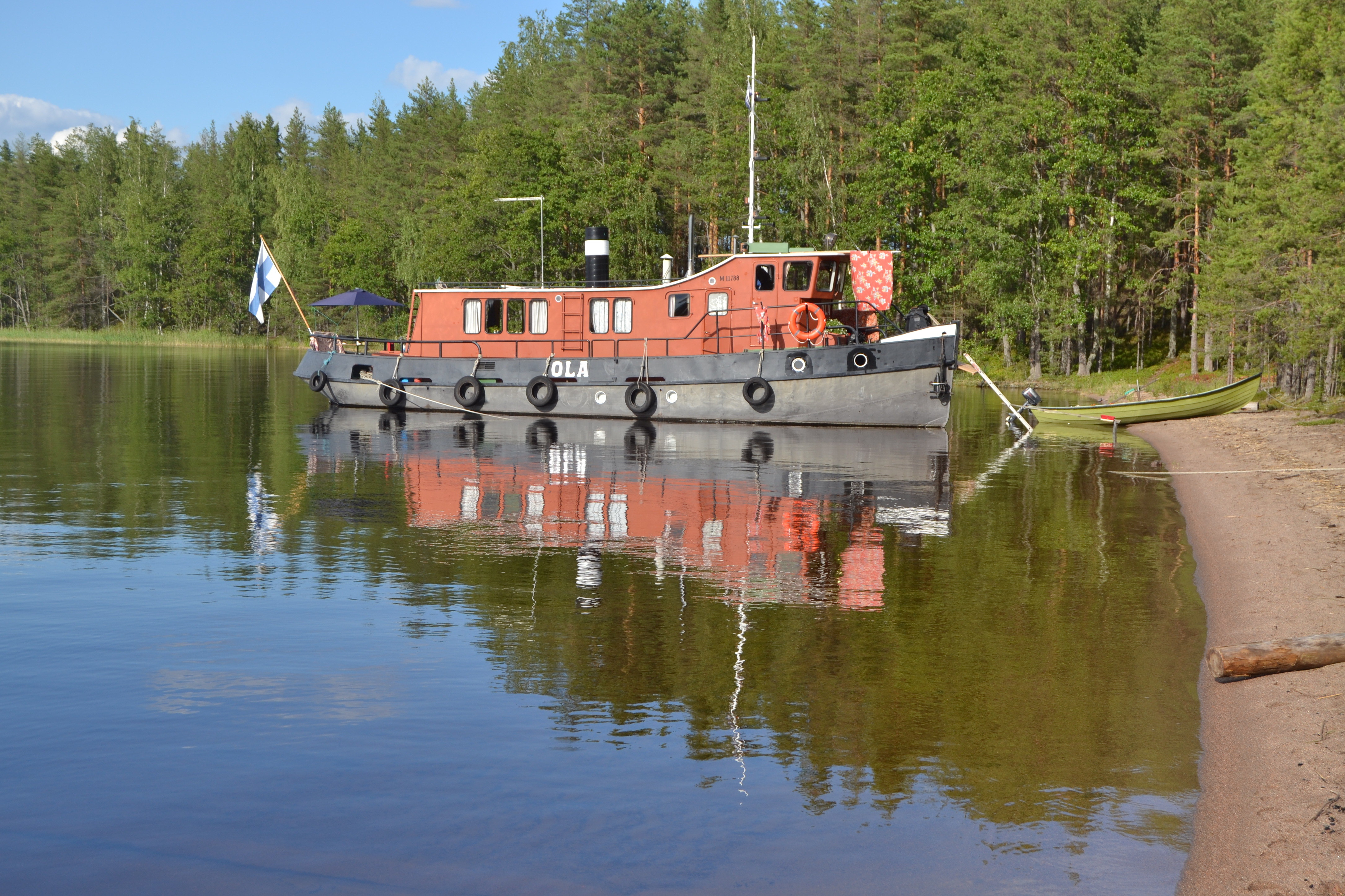
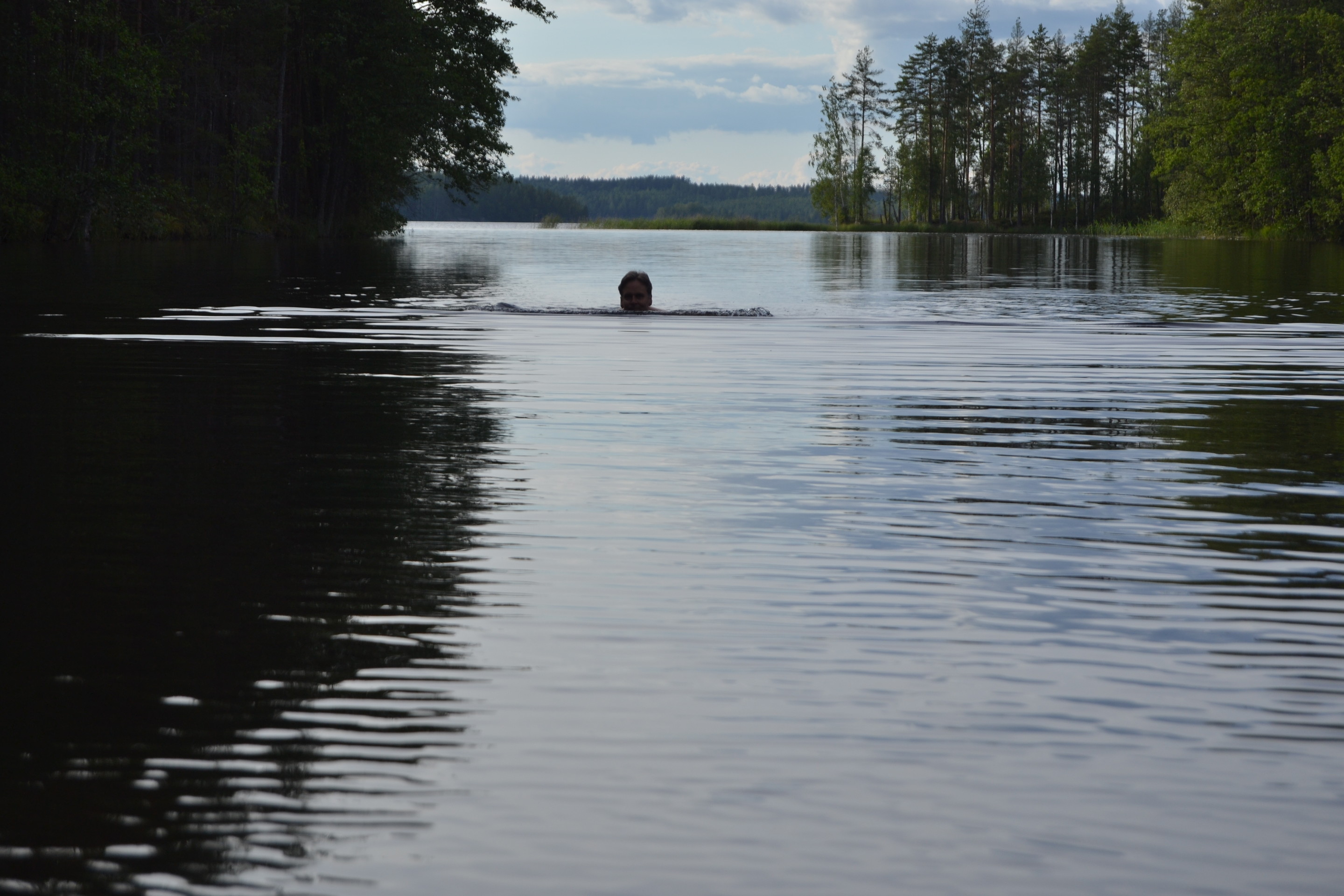
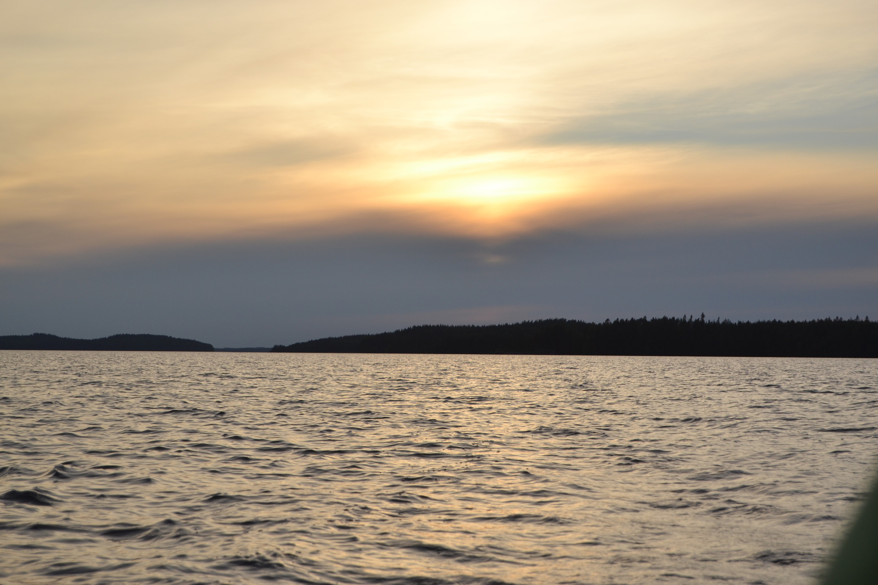
By one of the traits leading to Puumala there is an island called Äyrätsalo situated. There is a sheltered long lagoon on its west shore. The entrance to the lagoon has maximum depth of about 1.5 metres, but the deepest point there is almost 10 metres. There is a small sandy beach at end if it, where it’s nice to start swimming. On the southern side of the cape bordering the lagoon there is a longer sandy beach, which is a perfect place for swimming and watching sunset.
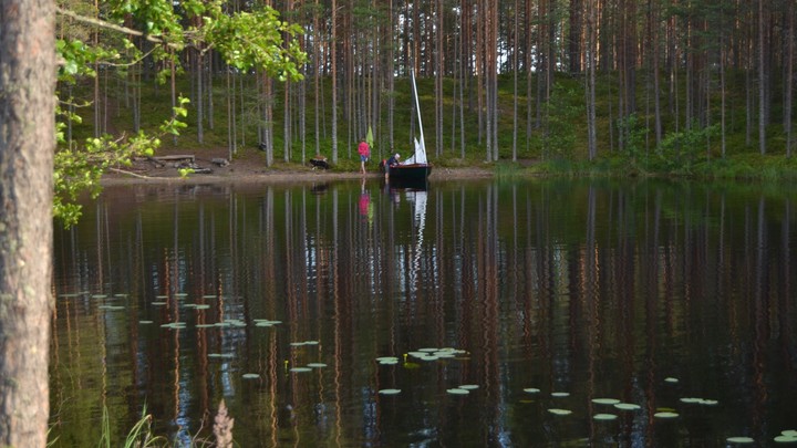
During our journey to Äyrätsalo it was calm, but in two hours a westerny gentle breeze started move us towards the destination. In the island we had a picnic, explored the island, swam and gathered bilberries. When we returned the breeze had turned fresh, but faded slighly as the nigth came closer.
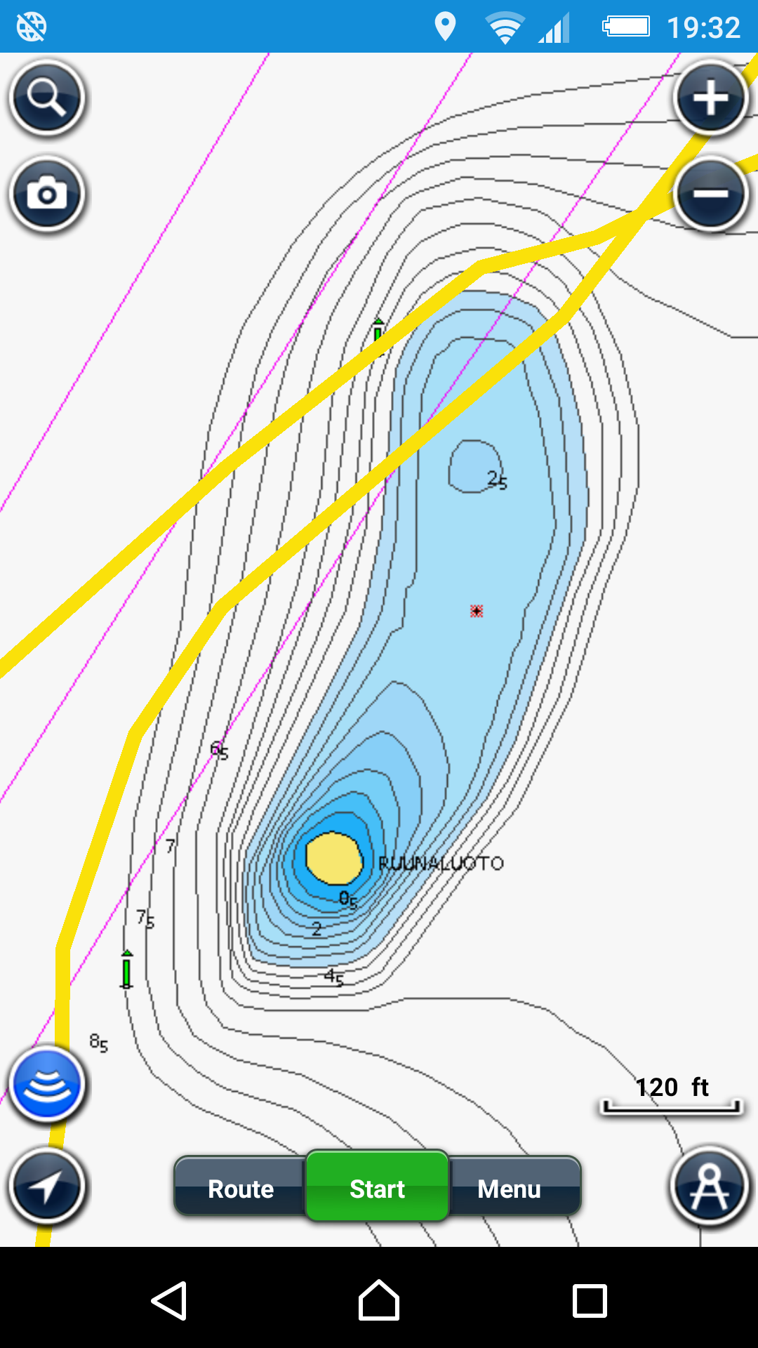
I have to say, that my trust in the accuracy of GPS-based location was shaken a bit, as I noticed the phone showing us sailing around 40 metres (120 feet) more to south than I expected us to be. We had sailed on the north side of the green buoy, but still the GPS showed, that we were clsoe to a rock. Later I found out, that the Navionics map wasn’t up to date. The both green buoys are closer to each others in the official Finnish marine charts. Maybe this is why Garmin “forbids” using their maps for navigation.