Petrisaari
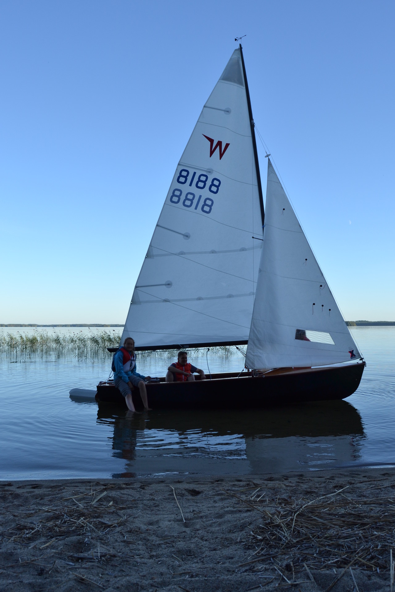
What makes you wake up at 5:00 am at weekend? Probably there are many good reasons, but in my case it was seeing the clearest water of the big lakes in Finland. It was still a dawn and the rest of the family was sleeping, when I cooked up porridge, ate breakfast and started to prepare Sarastus for the day trip to Puruvesi, which is two hours drive from us.
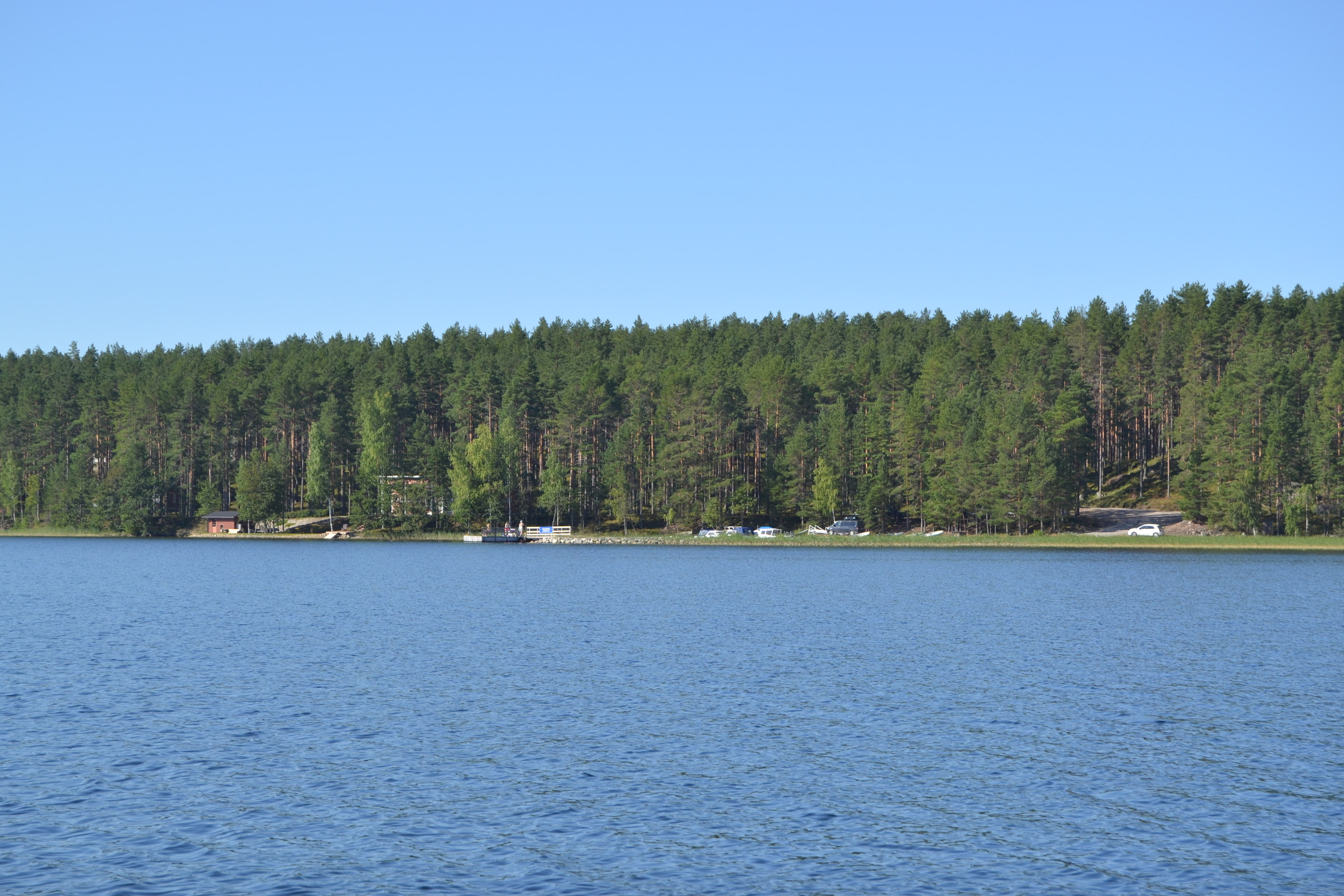
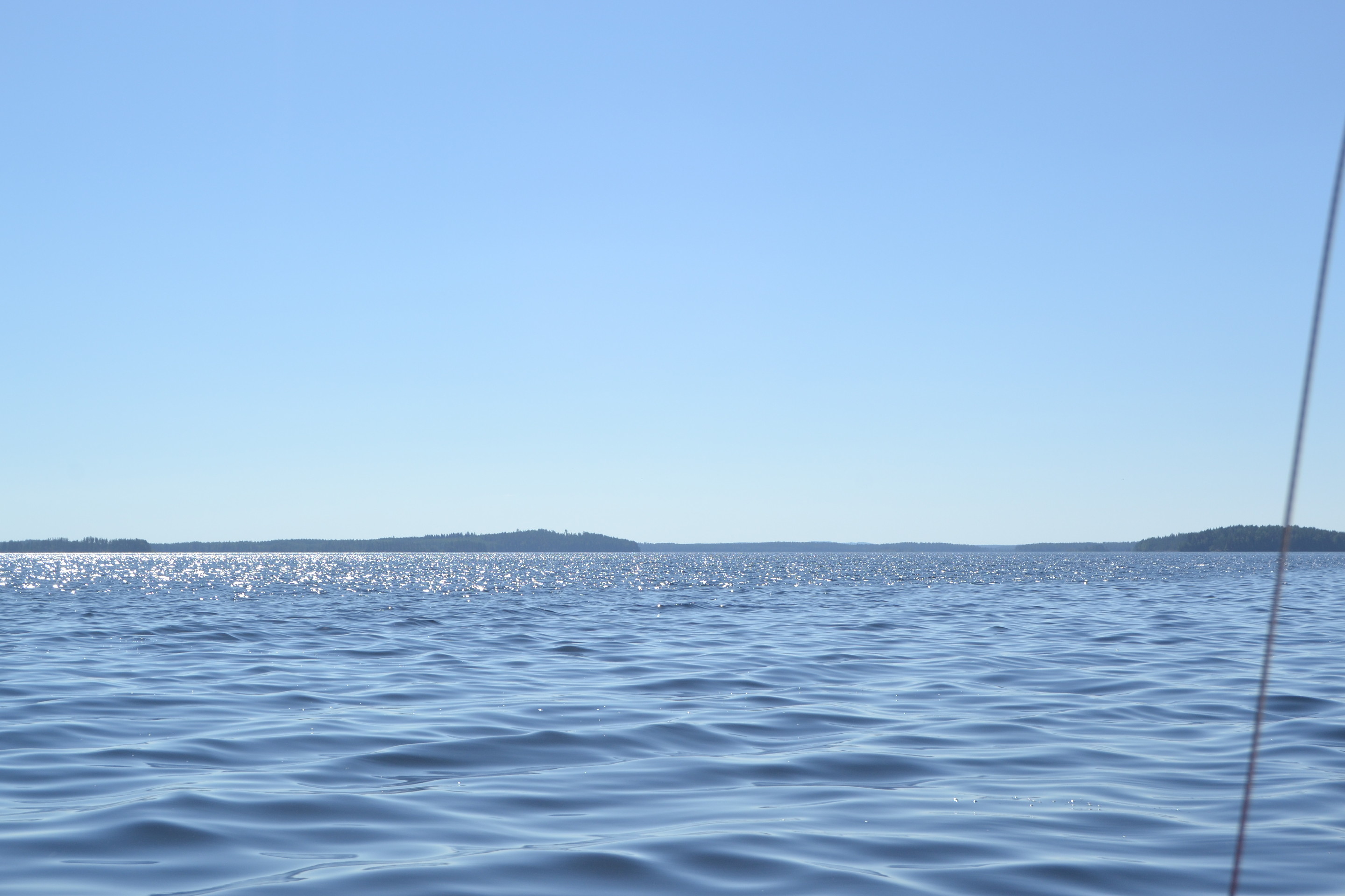
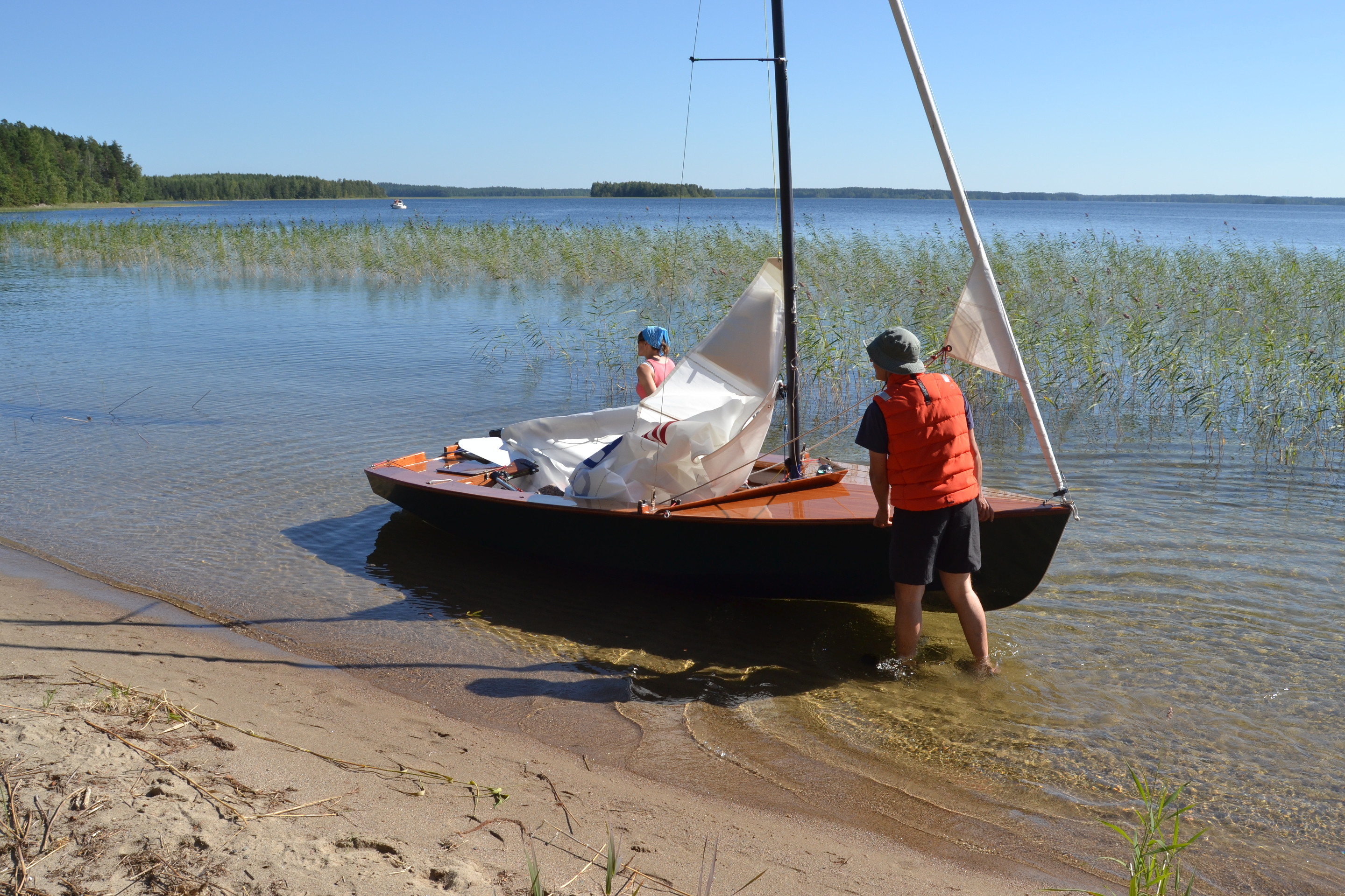
Arriving at Ruokkee Holiday Center slipway we saw the blue Hummonselkä before us. It was so different than one week ago, as the light breeze made wavelets and the Sun was shining warmly. We launched Sarastus and headed for the clear waters of Puruvesi, where you could see glittering vendance schools passing by. Even if Puruvesi can’t beat the Equator waters, Lake Baikal or even Valkiajärvi in clearness, the difference is remarkable compared to the rest of Lake Saimaa, where human activities and the natural nutrition and humus content affect to the color of the water.
In addition to the always-reliable paper chart we were able to use electronic chart again, that’s advantageous on unknown swallow waters, but also shows boat speed reliably. During this trip, when tacking at Käräjäselkä, accurate location information was essential. I feel it the safest, when the both chart options are with us.
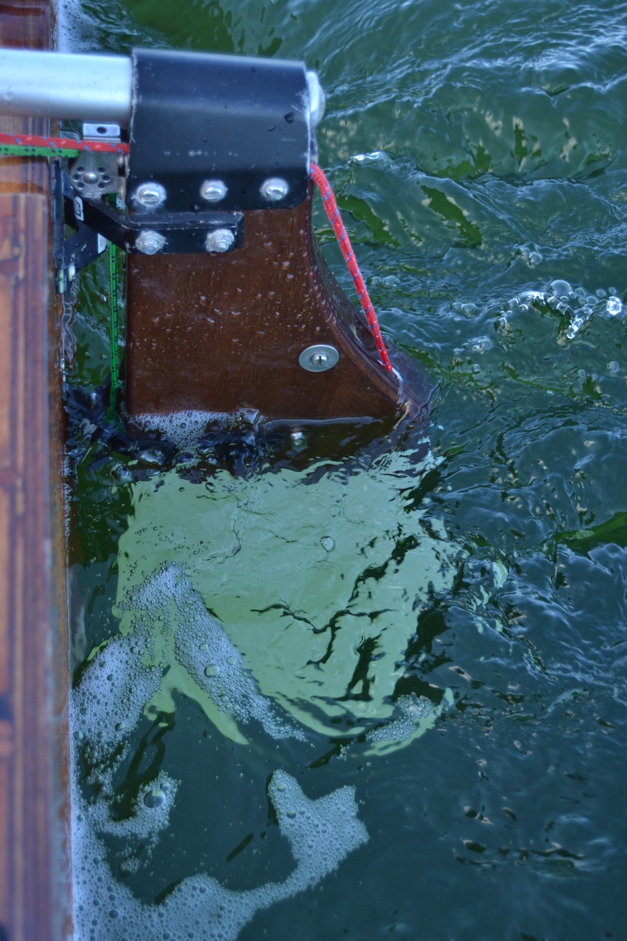
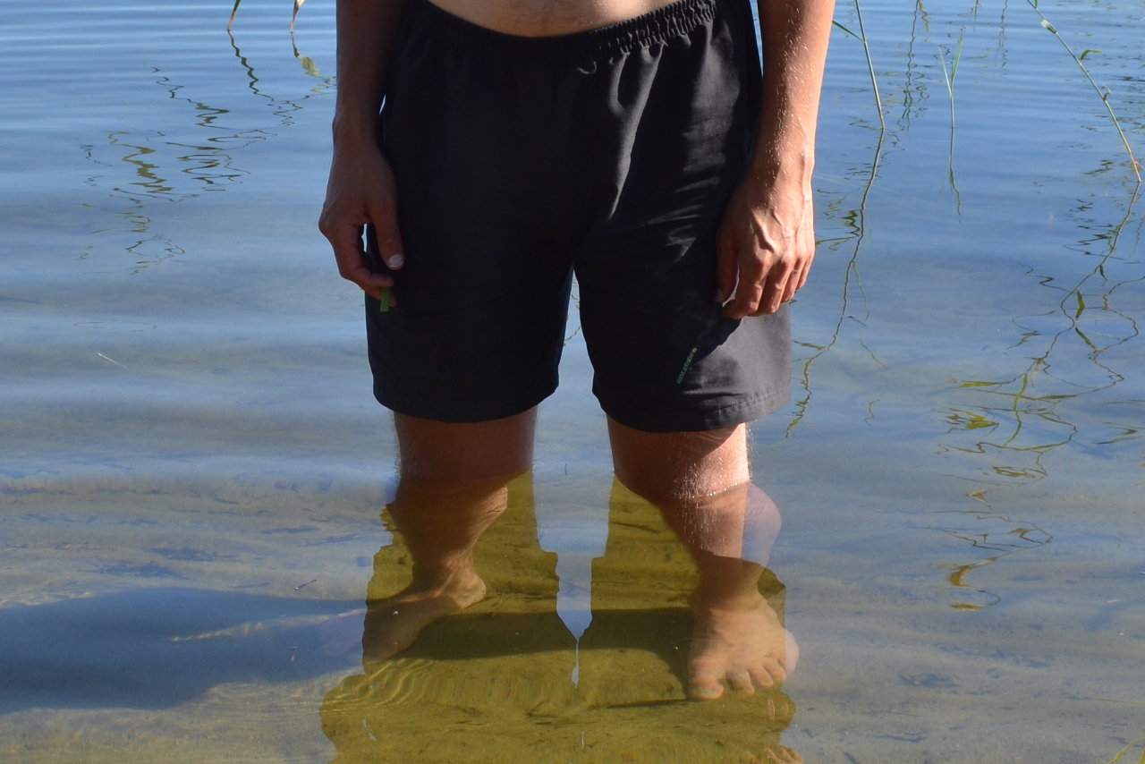
My first “fancy” with the clearness of Puruvesi was, when I noticed how clearly the rudder blade could be seen through the water. For some reason the water had a special greenish color, while in the rest of Lake Saimaa it’s dark blue. It has been said, that you can drink Puruvesi water at many areas. Of course it’s a good question, how you can know where the potable water is located. The children wanted to taste the water at watershed area and water was good there.
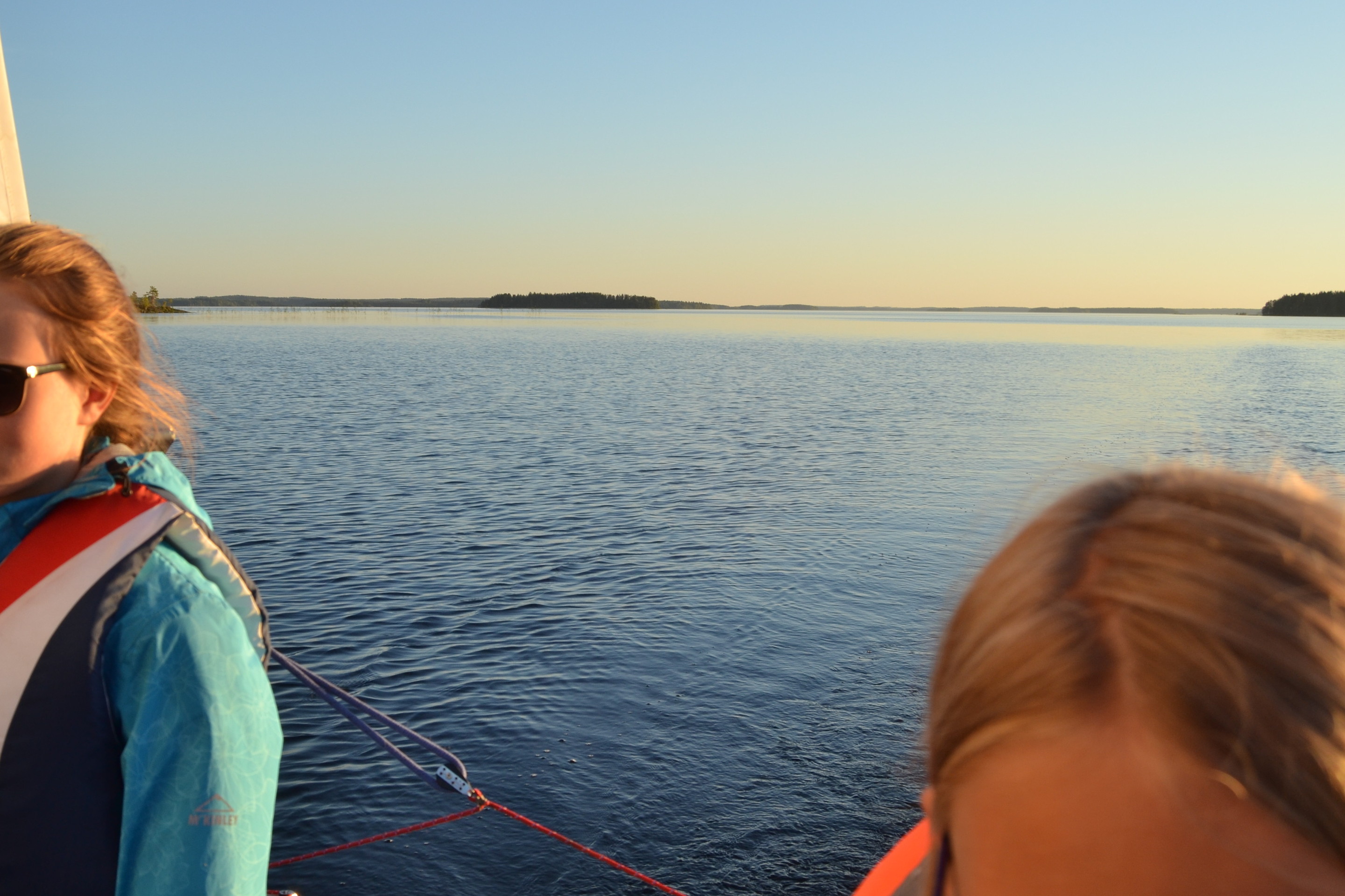
Our trip started from Ruokkee haven and then ran through Käräjänselkä to Putkiniemi peninsula. From there we sailed to the south running between Tiiraluoto and Läpisyöstö until Mustaselkä bound by Petri island, which was the destination of our trip. The wind was nice and sun shined.
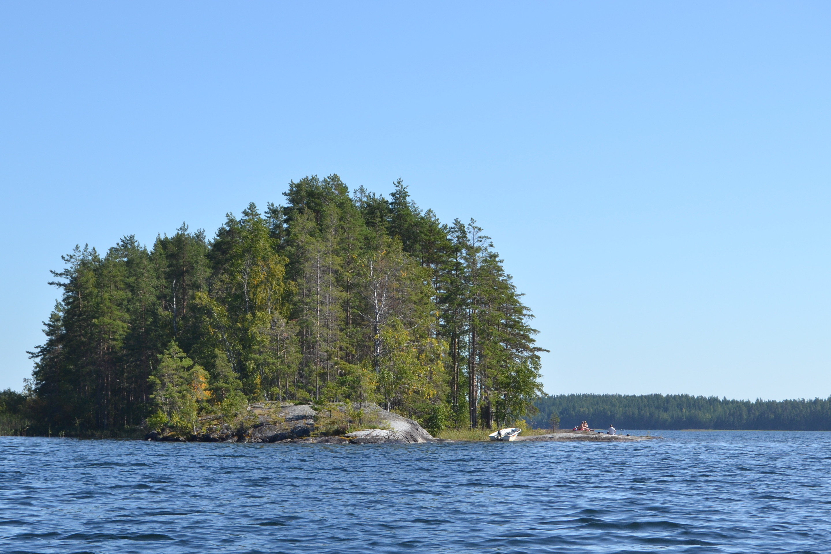
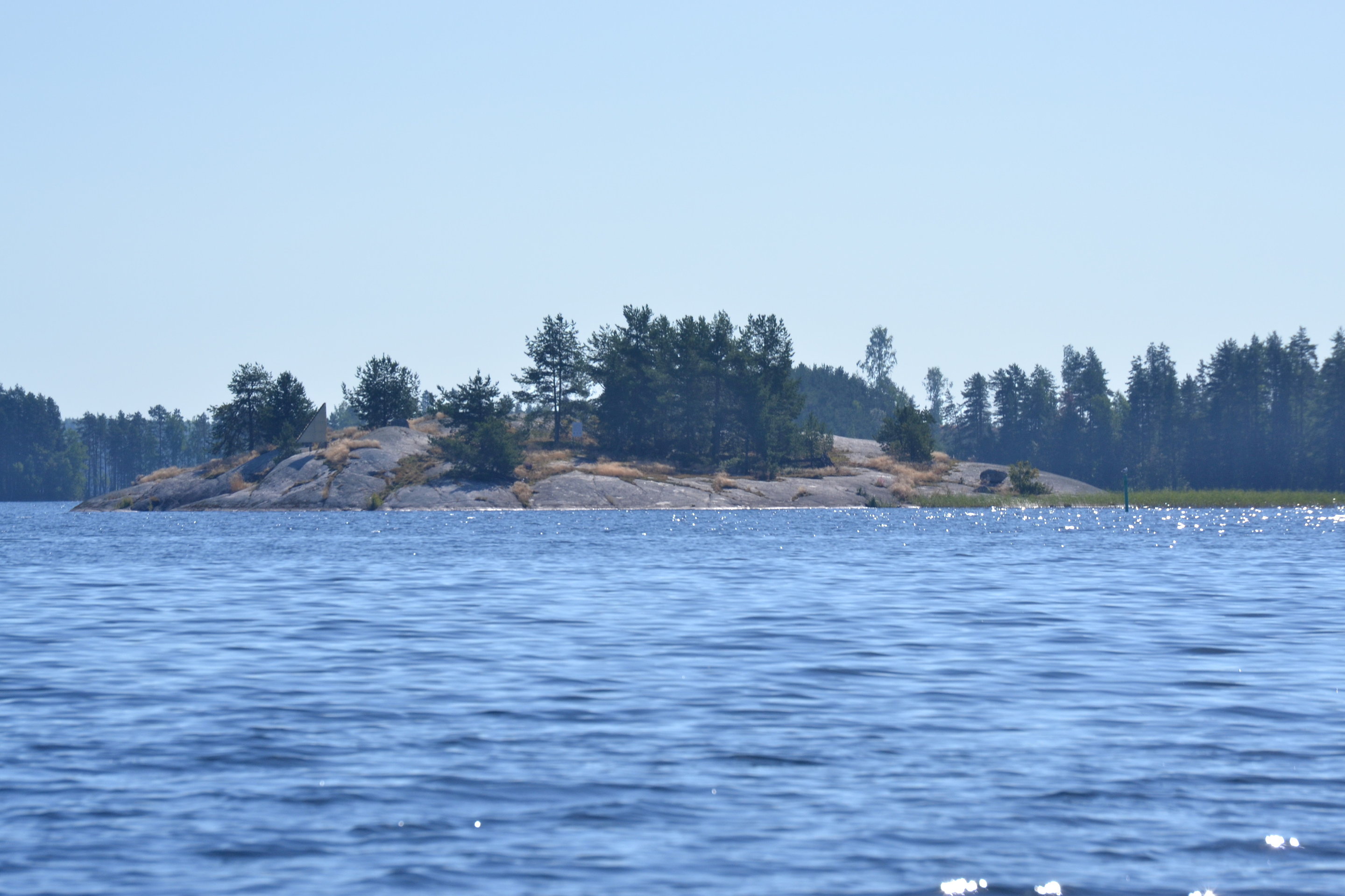
In Petri island there are two primary bays. The one facing to south has a regular beach. The second one facing to the east can be reached by passing though Petrinsalmi strait. The latter is the primary bay nowadays and has a pier with buoys for bigger boats.
We arrived at the shore through the bed of reeds. There were several motorboat groups enjoying of the warm day. The bottom could be seen far from the shore, maybe at depth of 4-5 meters already. It looked quite special, when the long stem of the water plants could be seen all the way from the bottom to the surface.
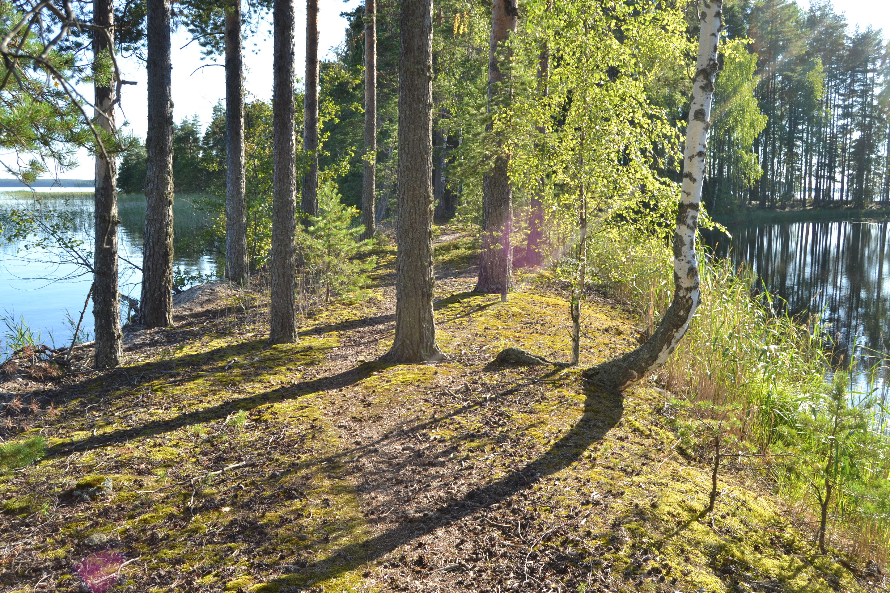
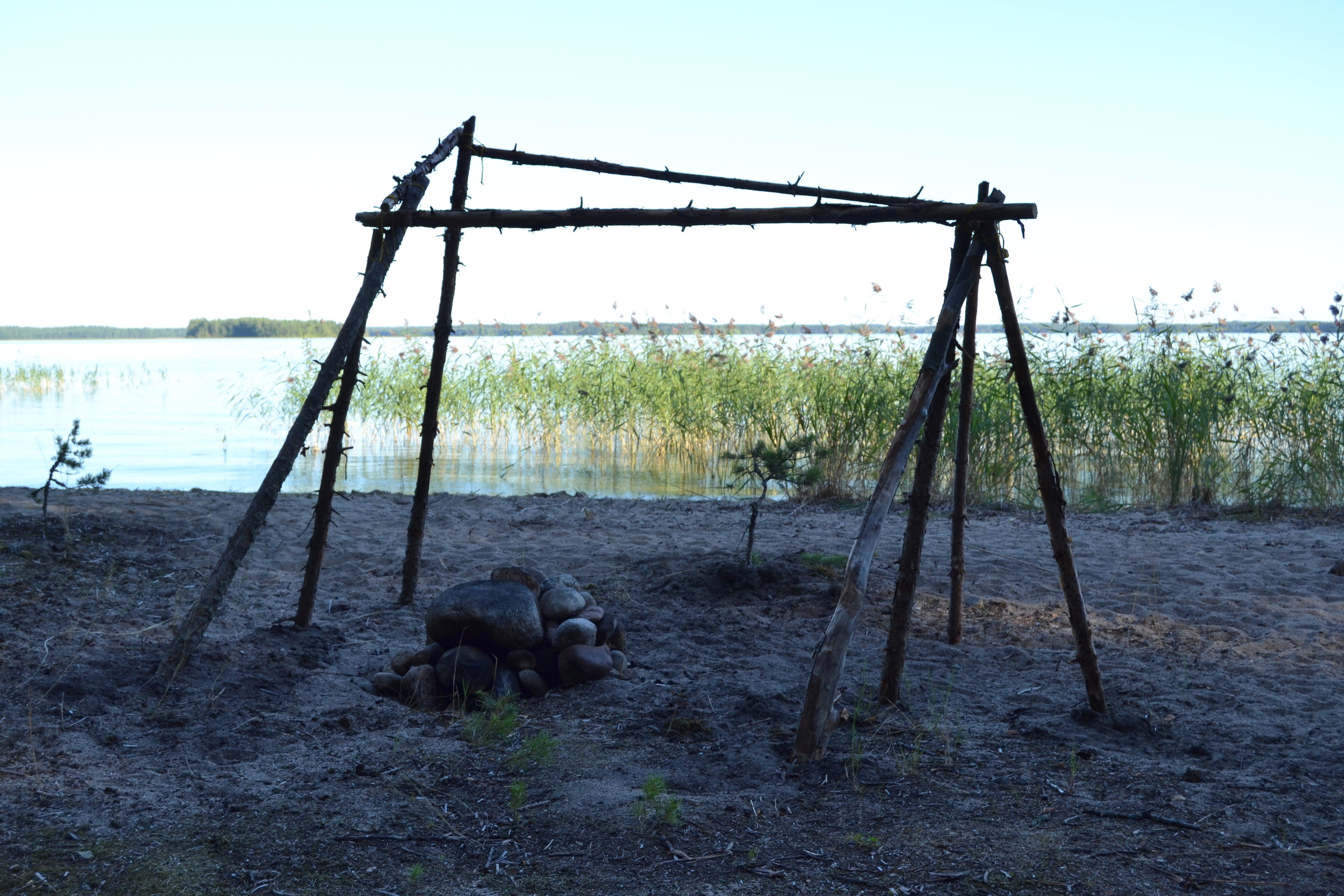
In Petri island our time was spent traditional way, by having a picnic, swimming, exploring the island and chatting with the other family. Even if there were several boat groups, the going in the island was peaceful, sounds of water skiing and children playing included. The peculiarity of Petri island is Petrilampi, which is a more pond in the island close to the beach.
Time flew and eventually it was time to start heading back. Wind had weakened considerably, and we had to use the oat motor for long. When two adults are paddling, you can make a Wayfarer travel with 2.0 – 2.5 knots in average. Not a bad way to keep fit!
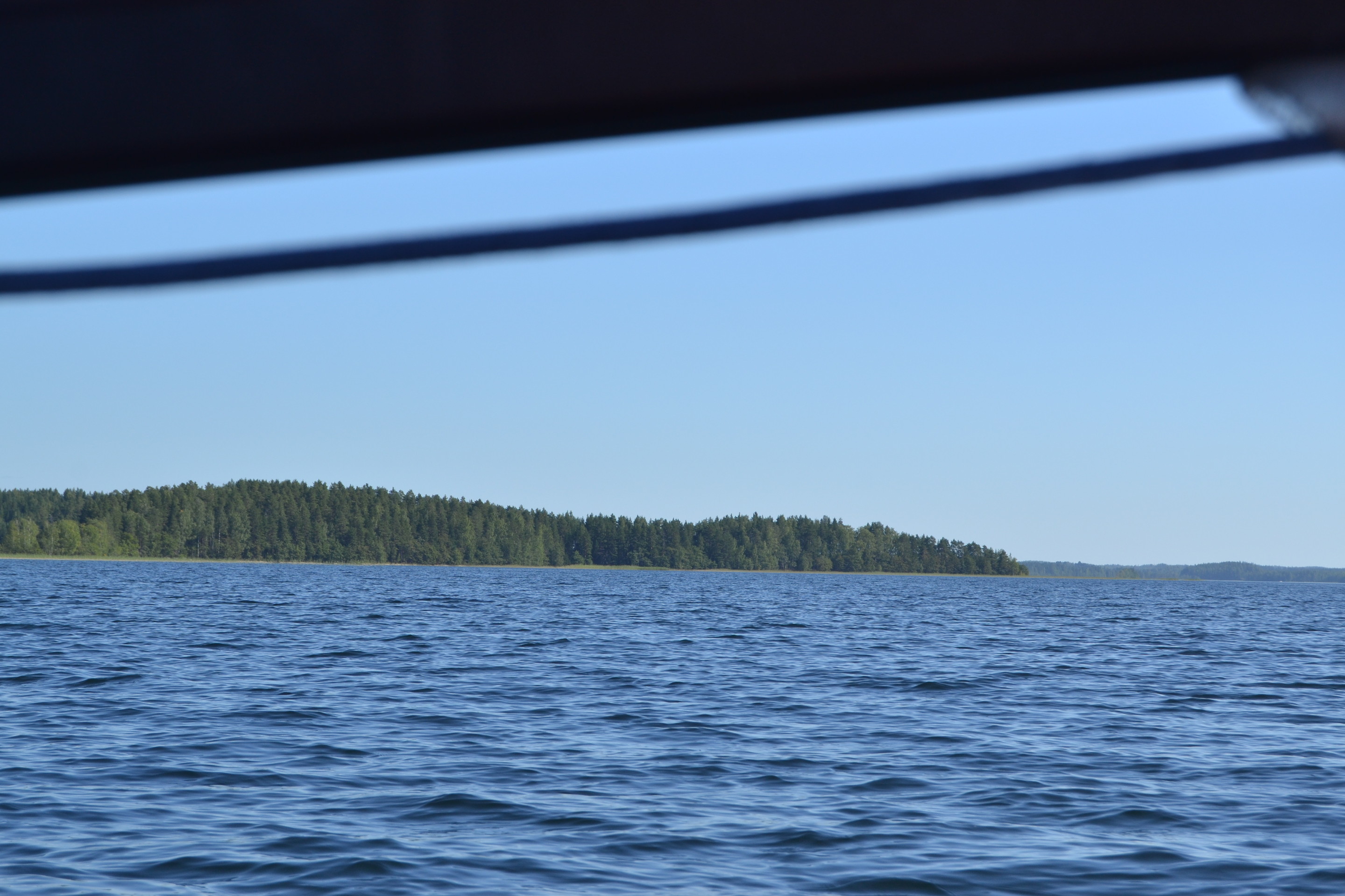
At Läpisyöstö islet we ventured to pass pretty close the rocky cape, as it was calm there. The rocky bottom at four meters was clearly visible despite of its dark color. That attracted the children a lot.
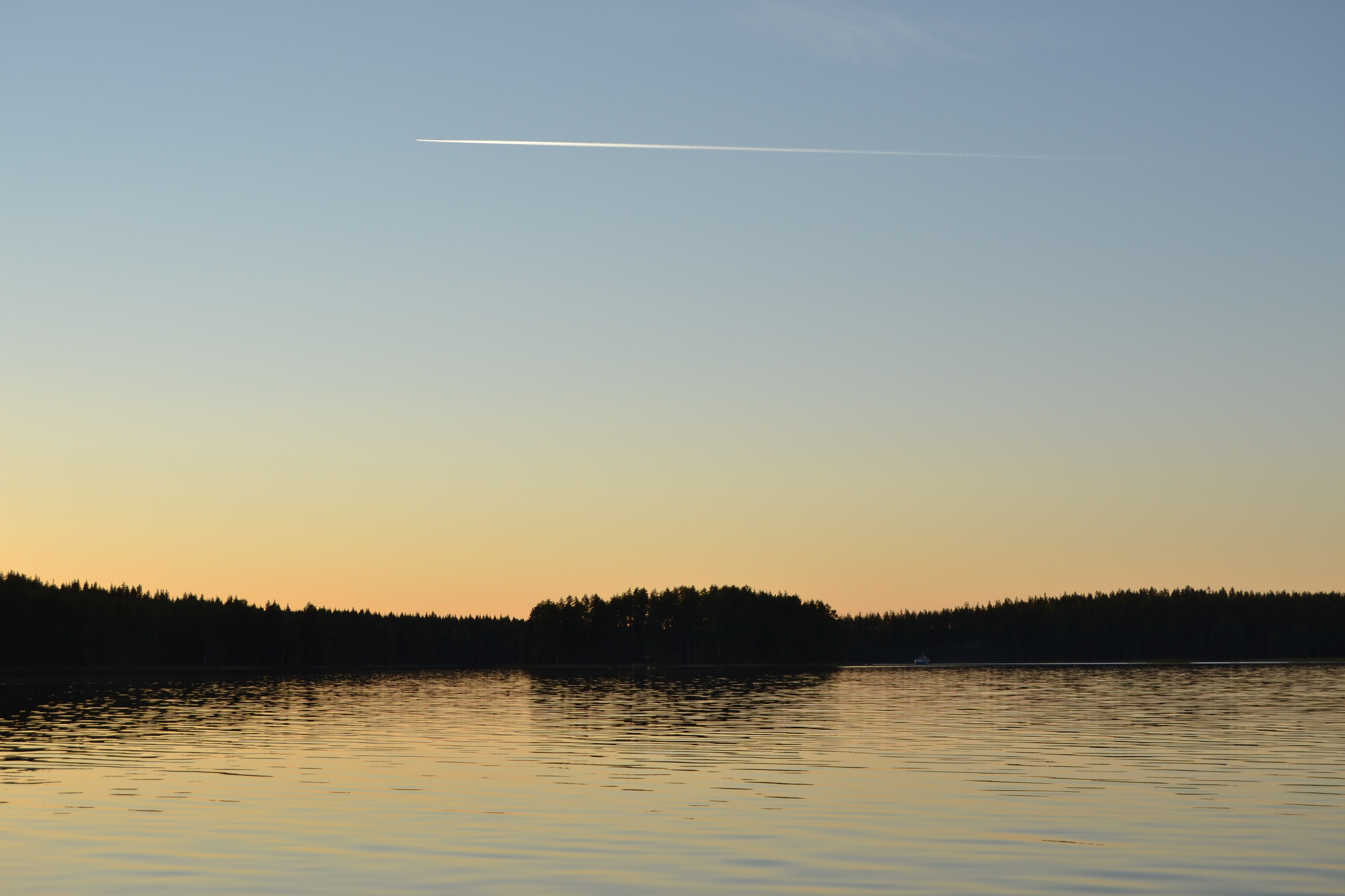
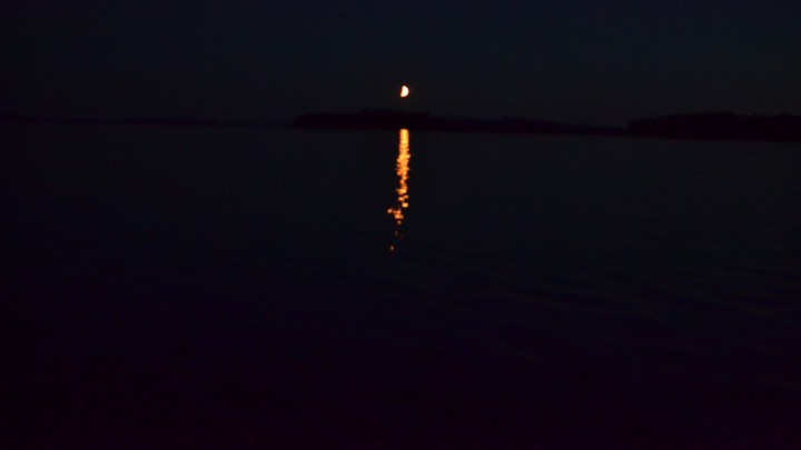
Sun was set, the dusk started and eventually it was almost dark. We didn’t see any lights on Puruvesi, but despite of that navigation was easy, thanks to our powerful flashlight (508 metres) and the electronic chart. At midnight we arrived at Ruokkee haven, where we packed boat’s rig and then drove back to home. The day was exhausting but wonderful!
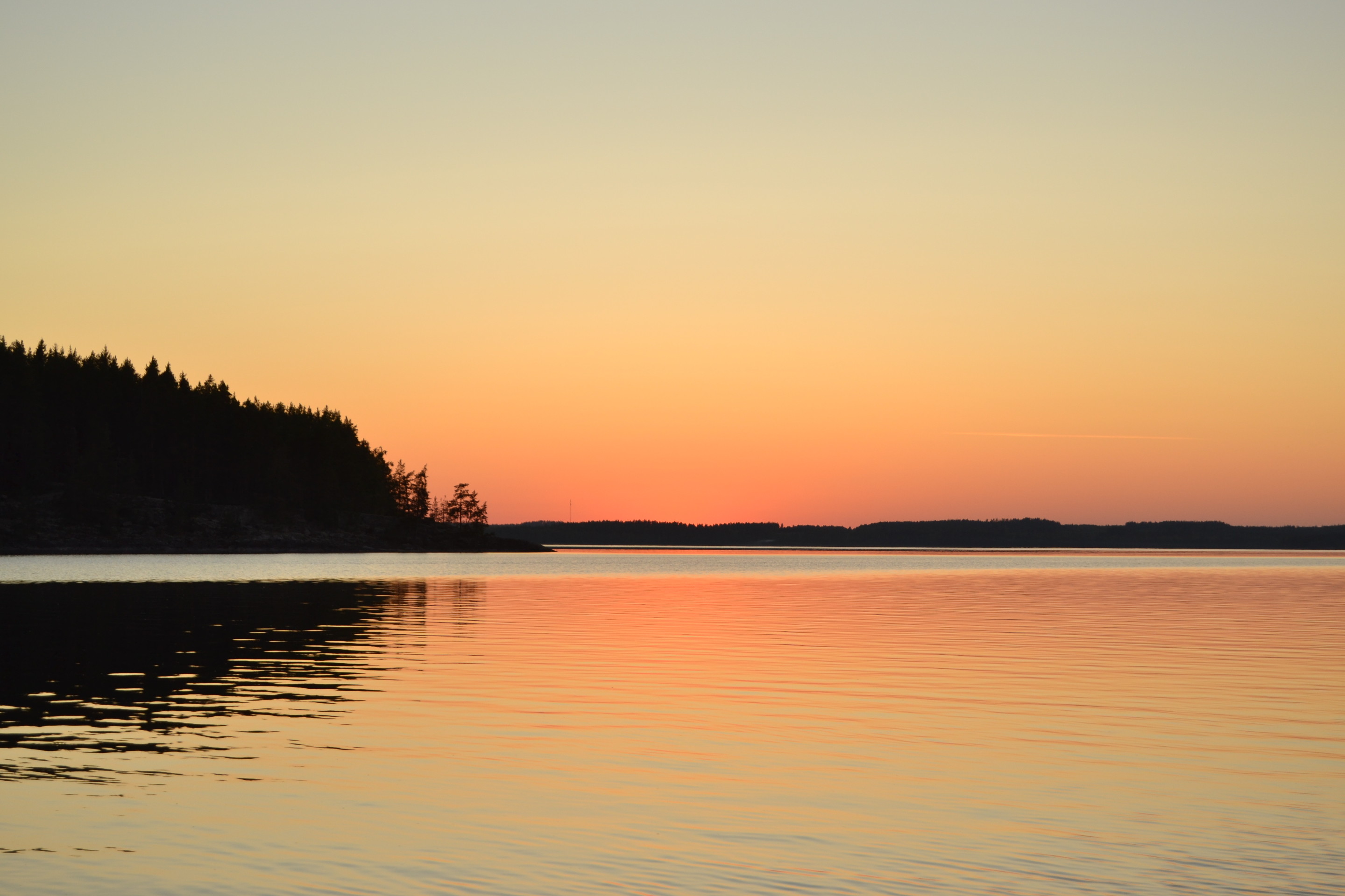
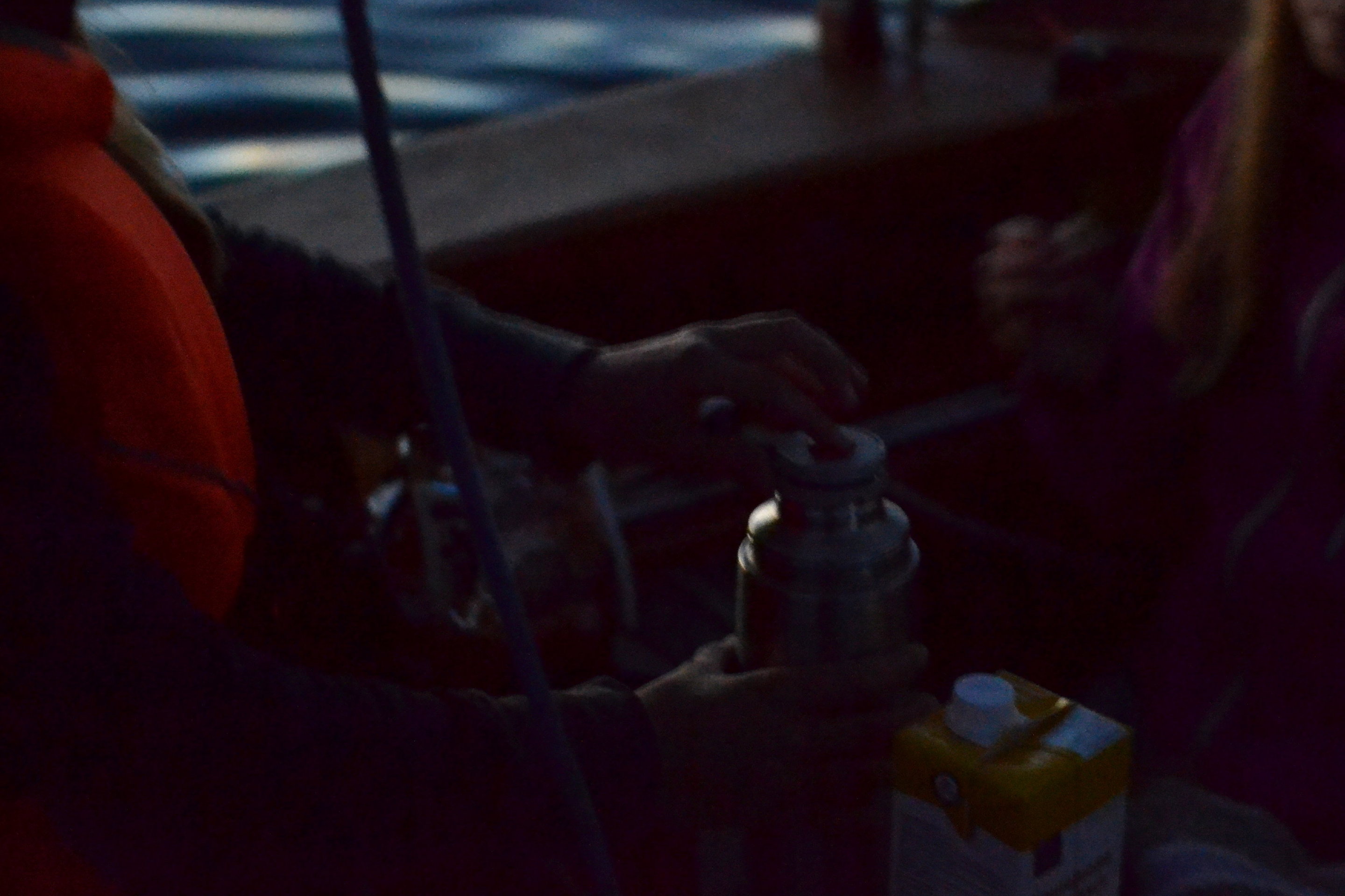
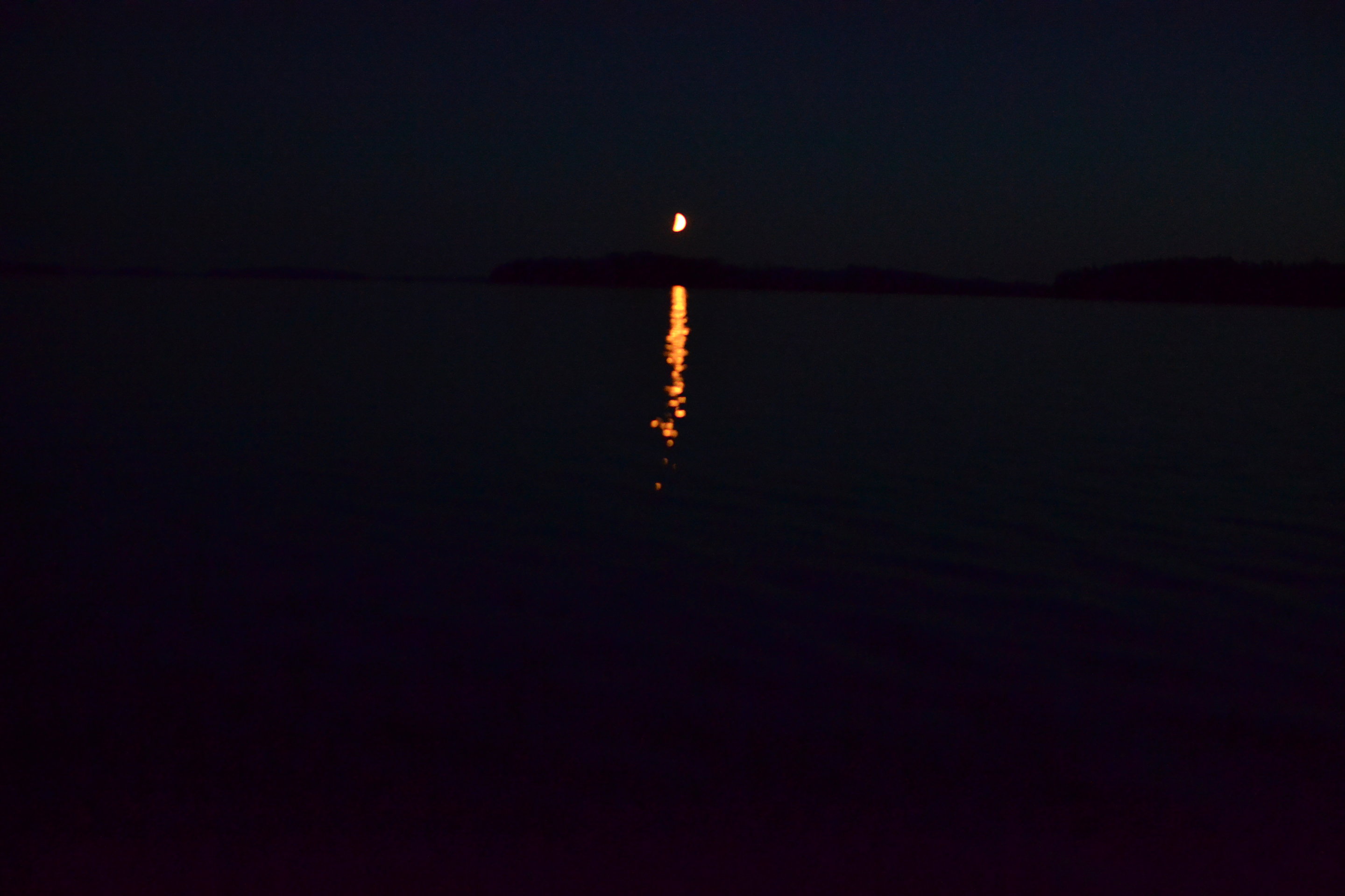
Next day at breakfast I asked children’s feelings about the trip and what were the greatest things for them. The clear water and swimming at the beach scored high, but it was bit surprising to hear, that the darkness impressed them too. Surely, it was magnificent to travel in silence under the starry sky without light pollution, and drink hot chocolate. In addition to Big Dipper, Orion, Cassiopeia and the other constellations the Milky Way was clearly visible in the sky. That’s something unseen at our backyard. The perfect silence was broken only by the sound of water and moribund bird calls. Sauli from Naantali was correct, that nature is indeed wonderful!
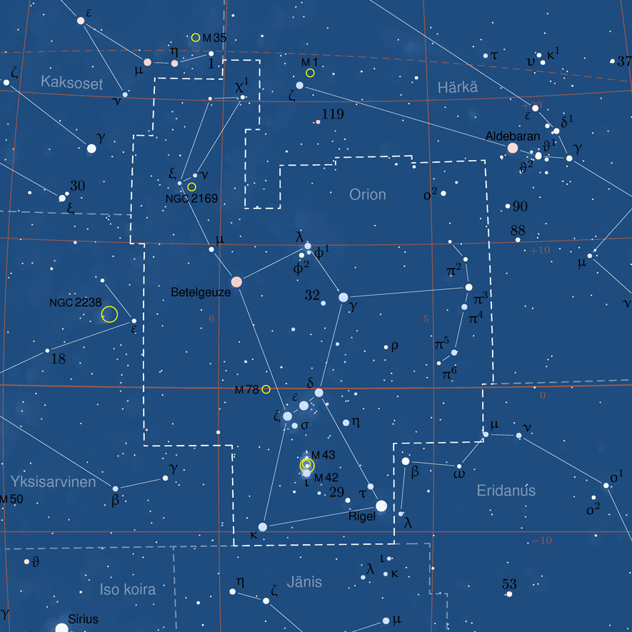
[1] This star constellation map was created using PP3 software by Torsten Bronger. Polish translations and other modifications have been made for the purposes of Polish Wikipedia by Przemysław ‘BlueShade’ Idzkiewicz. This image is licensed under GFDL license version 1.2 or later. This file is licensed under the Creative Commons Attribution-Share Alike 3.0 Unported license.