Pieni Metsäluoto
Our children had wished to make a trip to Pieni Metsäluoto islet for a long time. We saw it in summer 2015 when sailing from Listinki to Satamosaari and they got fascinated by it. So, as the weather was good we headed for the islet in a moderate breeze. We had a stop at Ylä-Lyly where we saw nude sunbathers (again).
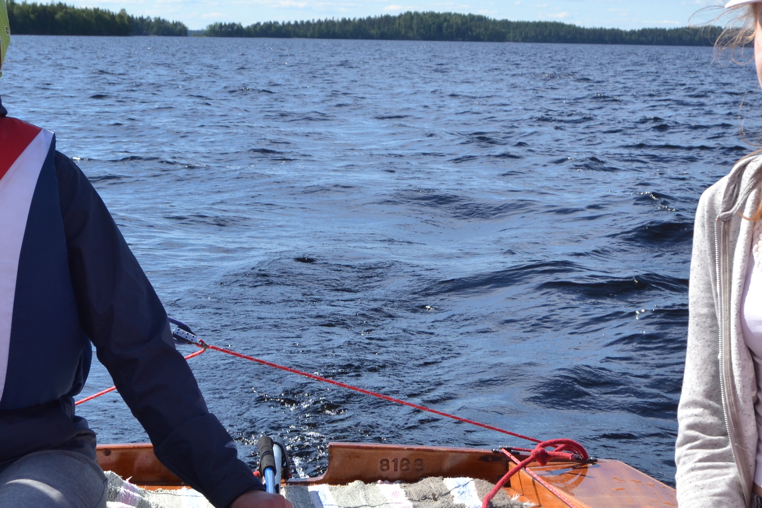
The journey continued. When bypassing Hiekkapakka islet Navionics chart showed its dark side. It had Sonar Charts mode on that made the reef look too short. Suddenly there were water plants on the left side of the boat! We tacked immediately! The centerboard hit the sandy bottom and kicked up smoothly. Stony bottom would have resulted a more loud touch. We got off with a scare but continued the journey.
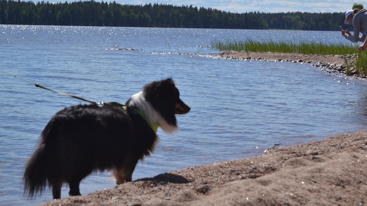
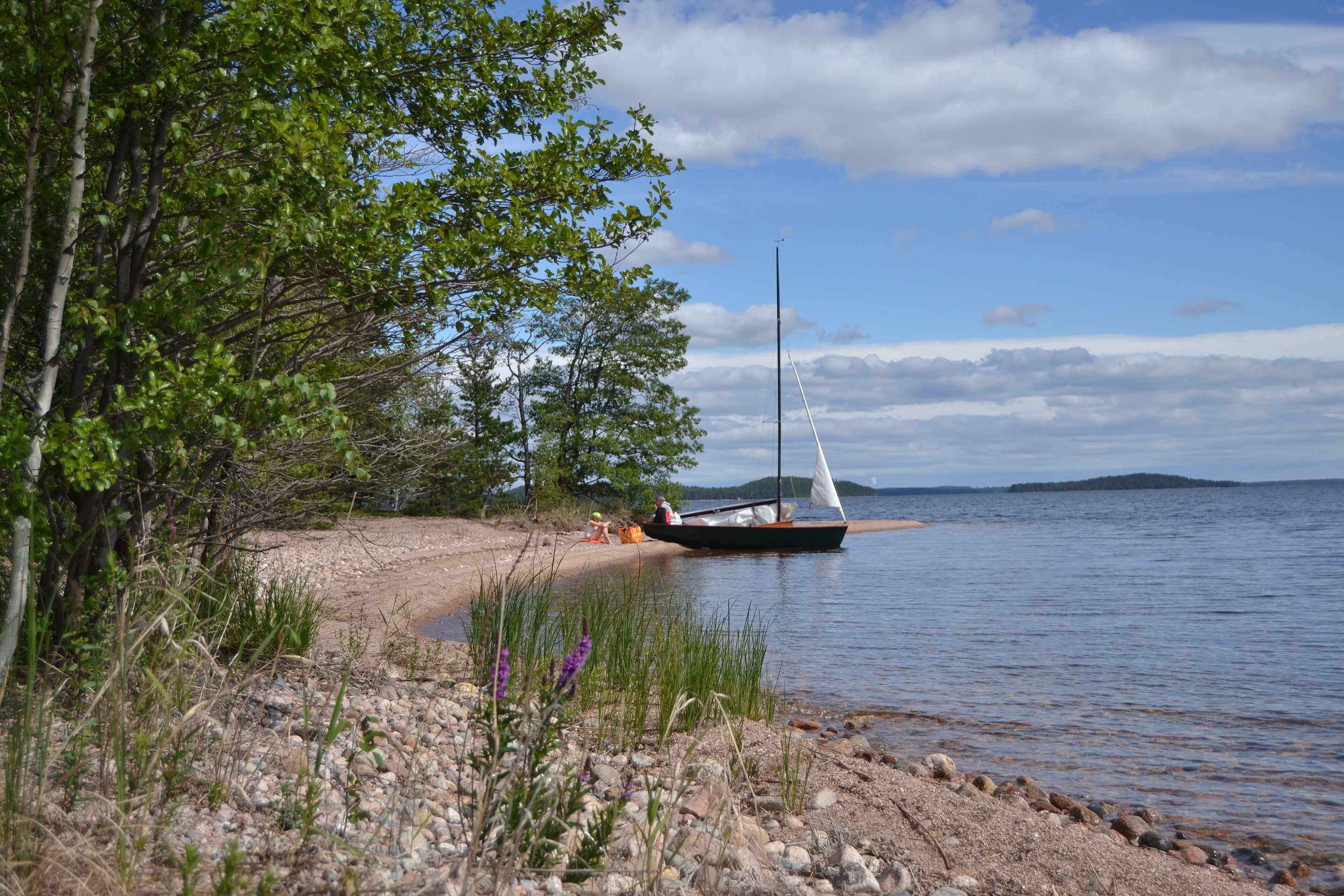
After tacking in shifty and gusty wind we eventully reached Pieni Metsäluoto safely. The place was surprisingly nice. There was a sandy beach, although it didn’t reach far under the water. There were plenty of ants, but despite of them we had a good time there.
Only one tack was needed on our way back. When sailing near Kaito island we saw a dimly visible sandy shallow on the starboard side but didn’t get grounded this time.
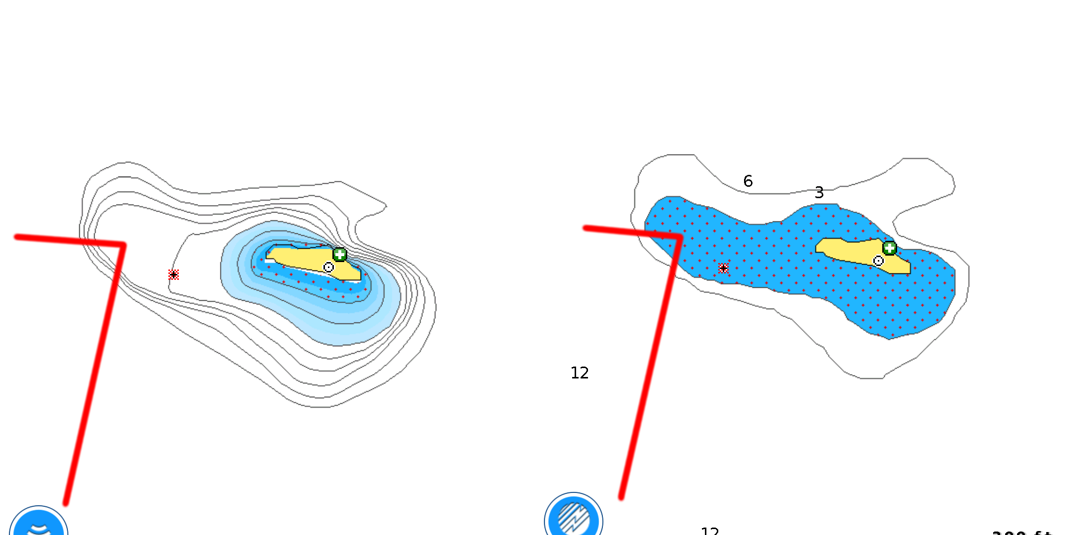
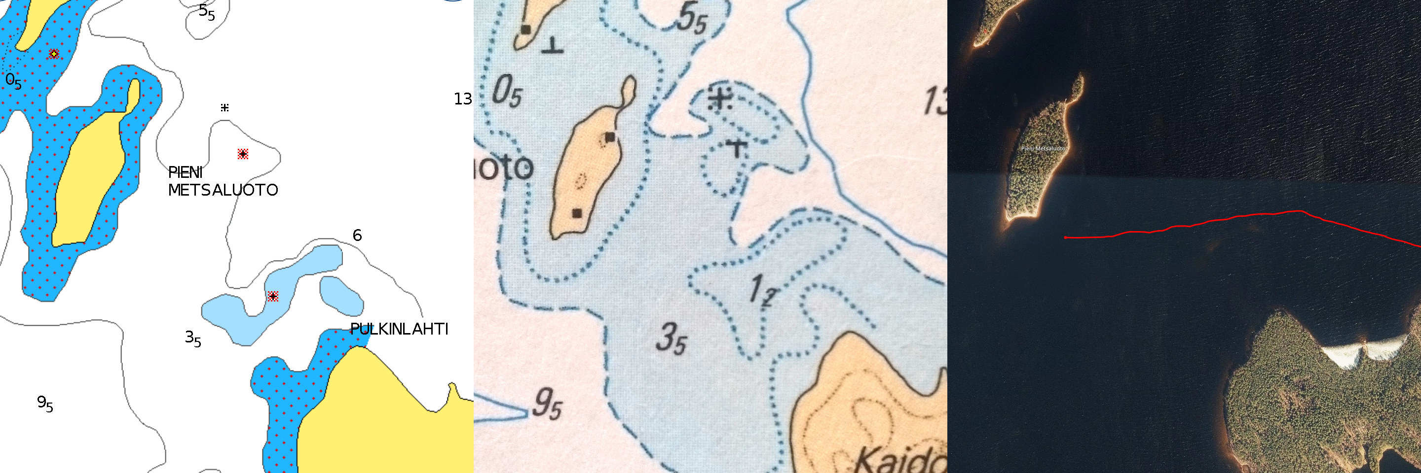
At home I compared the differences between the charts in the area between Kaito and Pieni metsäsaari. The shallow we bypassed was shown as 3 m deep with one rock on Navionics while on the paper chart the shallow is slightly larger and marked with 2 m dotted line. In other words, paper chart proved to be more reliable again. Something to keep in mind, evidently…
That was our adventure this time.